THE
BREAK
ROOM

Bright Shiny Drone
Drones are all over the place. You probably ran across them during your Christmas shopping and someone you know – maybe you – gave or received one as a gift. The kid next door has one. And maybe someone who has contacted you recently to sell survey services has one. Consumer-level drones can be as cheap as a few dozen dollars or less and as expensive two, or even three thousands dollars. Beyond these price levels the drones are called business models or enterprise systems.
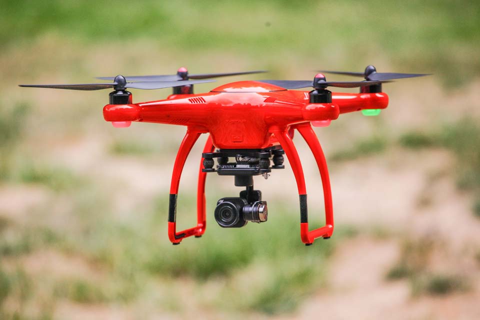
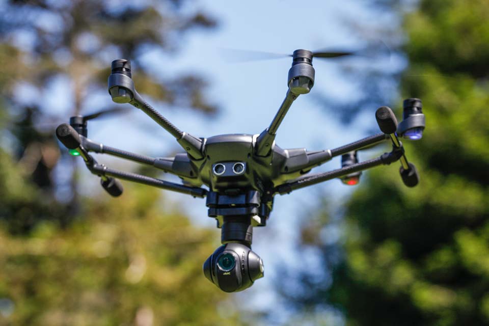
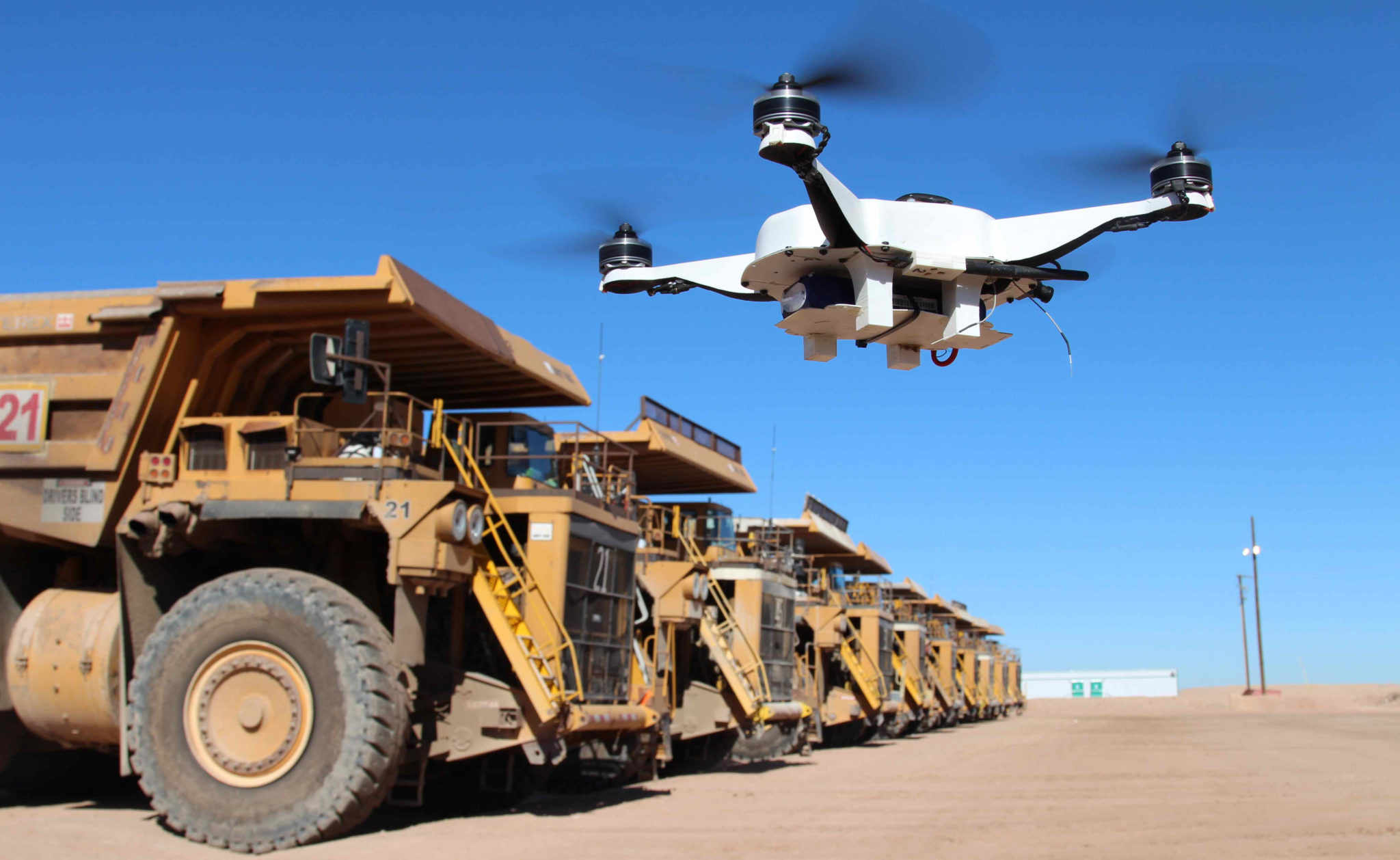
Generally, the more expensive the model (and by “model” I mean as in make and model, not scaled model, such as of a ship or airplane) the easier it is to fly. Also generally, the more you pay for a drone the more safety features the model will include. Most, if not all, include a camera – otherwise why own one? The quality of the camera, as well as its features and capabilities vary according to price. Some drones are made specifically for the motion picture imaging. They are used to video record television commercials, entertainment and sports events and motion pictures for major productions. Other drones are intended for the agriculture industry and are fitted with infrared camera filters for crop surveys and spraying equipment for application of pesticides. Power utilities use drones to inspect towers and other facilities. And, of course, drones are used for land surveying. Sort of . . .
Before we go further we should define land surveying. Land surveying is the detailed measurement of land. There are generally two types of land surveying that overlap and include many subsets and varieties. One type is topographic, which is the mapping of land in three dimensions. This generally includes any man-made improvements to land, such as roads and buildings. The other type of surveying is legal surveying, which is the measurement of legal divisions of land that are usually recorded at a local government office but which can be used solely for private leases and other contracts. Topographic and legal surveys are typically combined, but can be depicted on maps separately.
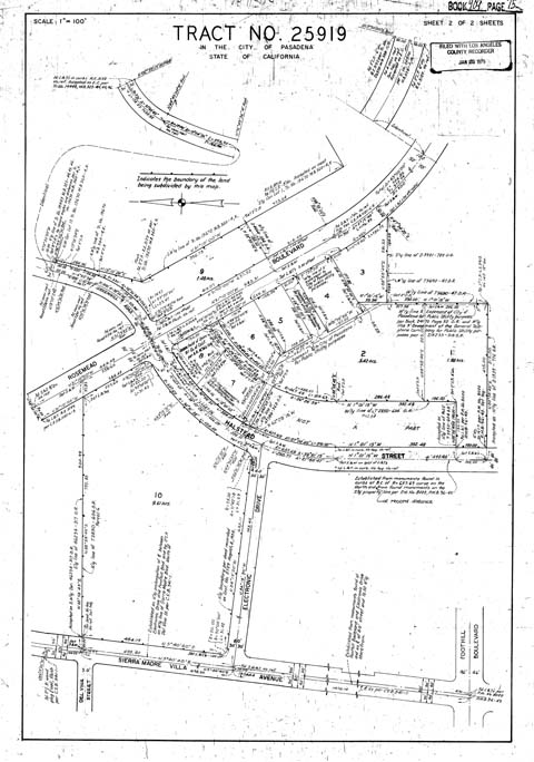 Each type of survey requires certain standards of precision and accuracy. Legal land surveys almost always require measurements precise to 1/8 inch, or 0.01 feet. This is the generally accepted and usually mandated standard for legal maps. Contour lines on maps of topographic surveys created from aerial photography with ground-based control generally are considered accurate to one-half of a contour interval, but the control points are generally set to a precision of 1/8 inch or 0.01 feet. Precision is the magnitude of error recorded between two measurements of the same thing. Accuracy is the error or deviation from the true value. High accuracy requires high precision.
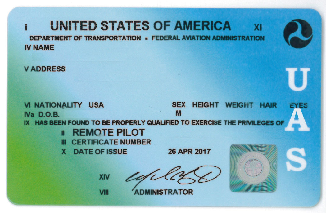
All of this may be more than you want to know about surveying, but if you are a manager who hires surveyors you need to know this information if a surveyor tells you they will perform mapping using a drone, or what the Federal Aviation Administration calls an Unmanned Aircraft System (UAS). Here’s why.
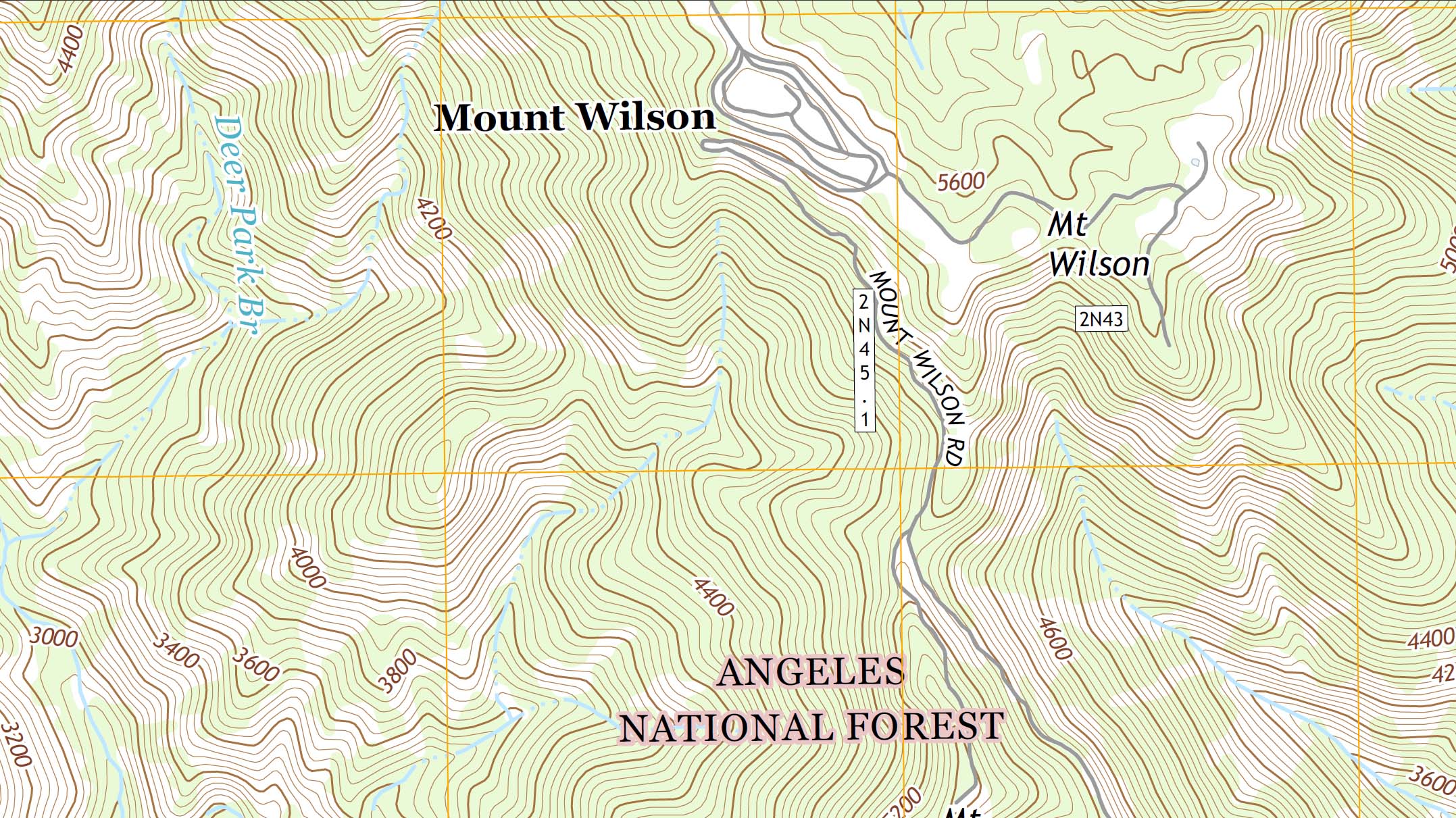 Topographic maps, the kind shown to the left, are typically created using aerial imagery. Aerial images are taken from a plane flying at a relatively low altitude to capture as much detail as possible, but high enough to reduce the effect of parallax. The accuracy of the map in both horizontal and vertical directions increases as altitude decreases. Distortions from parallax also increase as altitude decreases. The greater the distortions the more time consuming and difficult it is to adjust the final map to match the ground with accuracy.
As with parallax, map scaling becomes more of an issue from a low altitude than from traditional altitudes that aerial mapping is done. Orthographic projection is the process used to create a two-dimensional map of three-dimensional surface. A component of this process is adjustment of scale so that objects at different elevations are properly sized in relation to each other. Two objects that are the same size will look different if one is closer to the camera than the other. So, for example, the scale distortion for an object that is ten feet higher than another object of the same size is greater from 400 feet than it is from 1,500 or 2,000 feet away.
 What does all this mean for surveying with a UAS? Conventional piloted aircraft can survey almost anywhere in Southern California, even directly over airports. They must simply stay out of airspace reserved for an airport’s flight operations and they must get permission. Conversely, a UAS is restricted to an altitude of 400 feet everywhere and cannot fly within miles of a busy airport, such as Los Angeles International or Bob Hope Airport in Burbank. The airspace around even smaller airports that handle general aviation and no commercial flights is severely restricted. The airspace surrounding Van Nuys Airport extends far into the valley. The airspace restrictions limit flights over most of Cal State Northridge to an altitude of 50 feet above ground. This limit eliminates the use of drones at Cal State Northridge for aerial mapping, even though the campus is an ideal candidate for such mapping and the nearest point on the campus from any runway area at Van Nuys Airport is more than two miles away.
In addition to the above, aerial mapping with a UAS requires many more ground control points because the area imaged by a UAS in one frame is much smaller than conventional aerial photogrammetrist. Ground control points are targets in the shape of an X. A land surveyor sets these targets and records their horizontal locations and elevations as they are set. These targets are used to calibrate the images during orthographic correction. The number of targets neede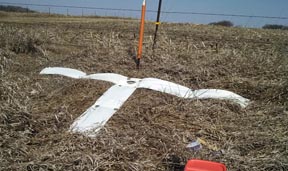 d to calibrate increases exponentially as the altitude decreases. For example, an area that it 1,000 feet by 2,000 feet may require four targets to calibrate images to the precision needed if the images are collected with conventional aircraft and camera equipment. That same area would require one-hundred or more targets to calibrate images collected with an unmanned aircraft.
As you may have guessed, this many targets set by a licensed land surveyor are costly. And the increased costs continue with the processing. The lower flying drone requires many more images and therefore much more processing effort to stitch the images together and make the adjustments to produce an orthographically correct map. What this means is that conventional aerial mapping by a piloted aircraft and the lesser number of ground targets is significantly less expensive for the same end product. And it appears that piloted aircraft surveying may continue to decrease in price and quality as technology advances. Drone images can be extraordinarily detailed for aerial images, but that’s because they fly so close to ground. Aerial photogrammetrists are replacing their old film cameras – which could produce higher resolution images than digital cameras – with gigapixel cameras that capture the same detail from much higher altitudes.
 Drones can be useful in applications where the precision and accuracy of fixed-wing aerial photo planimetry is not needed. For planning tasks, very detailed aerial photo-mosaics of large areas with reasonably precise scaling can be produced quickly. But for civil engineering and site design, aerial photo-mapping from fixed-wing piloted aircraft is currently more cost effective and the products are more precise and accurate than products that can be delivered using unmanned aircraft.
At some not-to-distant time in the future, remotely piloted or autonomous aircraft may fly a pattern over a project in a few minutes, then transmit the photos to a high-end laptop that then stitches the images together, traces line work into a CAD file, adds contours in a few minutes and saves a professional, detailed map of your next project site. But that time is not now. For that to happen, digital cameras must have even higher resolution than they now do, the common business computer must be magnitudes more powerful and CAD software must make several generational leaps.
Until then, hire a real surveyor.